Redefinimos la forma en que se gestionan los residuos.
LA SOLUCIÓN INNOVADORA QUE REVOLUCIONA LA GESTIÓN DE RESIDUOS
En IBIRCOM te ofrecemos una solución revolucionaria para transformar los residuos en recursos, eliminando los pasivos ambientales y reduciendo en más de un 95% la huella de carbono.
Gracias a nuestra tecnología vas a poder migrar a un modelo de ZERO WASTE en un marco de absoluta trazabilidad, garantizado a través de certificadores externos, permitiendo medir y comunicar el impacto ambiental positivo.
De residuo a recurso en solo 60 segundos
Trazabilidad absoluta certificada
100% reutilizable Zero Waste Economía Circular
¿Por qué elegir IBIRCOM?
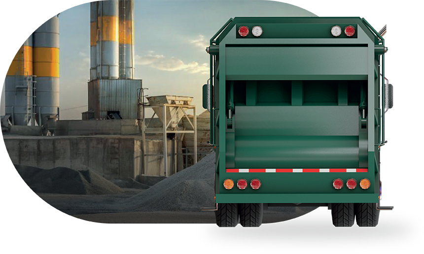
Sin cambios en tu logística de recolección
Tus residuos se transportan a nuestro HUB IBIRCOM, donde se transforman sin necesidad de modificar tus procesos internos.
Zero Waste & Economía Circular
Convierte la fracción húmeda y de rechazo de tus residuos en un insumo demandado por otras industrias, evitando el enterramiento en rellenos sanitarios.
Reducción del 95% de las emisiones de CO2
Nuestra tecnología impide la generación de metano, principal gas de efecto invernadero en la gestión de residuos.
Certificación y trazabilidad
Medimos el impacto de tu empresa y te proporcionamos reportes certificados por entes externos con datos clave sobre la transformación de residuos.
Alianzas estratégicas con la industria
cementera y otros sectores
El producto resultante es utilizado en infraestructura, construcción y conservación de suelos, garantizando un destino sustentable.
Acuerdos de aprovisionamiento del producto de salida con la industria cementera, la cual demanda el producto IBIRCOM como excipiente biomásico en su producción.
Acuerdos con empresas líderes en higiene urbana para brindar una solución integral y sostenible. Al contratar IBIRCOM los residuos pasan de ser enviados a rellenos sanitarios a ser transformados en nuestro hub, llevados por el mismo servicio de recolección.
100% TRAZABILIDAD DEL PROCESO
ENTREGABLES EXCLUSIVOS
PARA CLIENTES IBIRCOM
Certificado de tratamiento con destino sustentable
Reporte de desempeño ambiental y reducción de huella de CO2
Información documentada sobre trazabilidad
Material de comunicación para potenciar tu compromiso ambiental